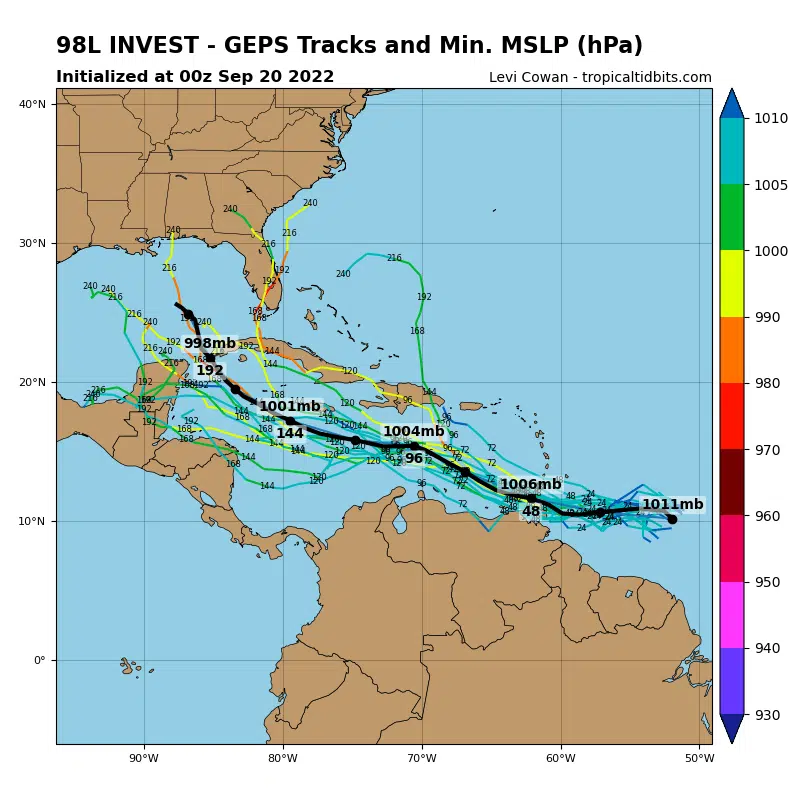
The National Hurricane Center is monitoring a tropical wave that’s moving towards the Caribbean, and a tropical depression is likely to form within the next few days. State Climatologist Barry Keim says it’s very early, but forecast models show this potential storm getting into the Gulf of Mexico next week.
“Both the American and European models are both bringing this storm into the Gulf in about a week and they’re both bringing it here as a pretty storm,” Keim said.
He said forecast models become more reliable once the storm actually forms. He says they will know more in about a week.
“It’s too far out to get worked up about, but the danger is sufficient that we absolutely out to be keeping an eye towards the tropics,” Keim added.
If this tropical wave develops into a named storm, it will be called Hermine.
So far there have been six named storms this year and no major threats in the Gulf of Mexico.


Comments