


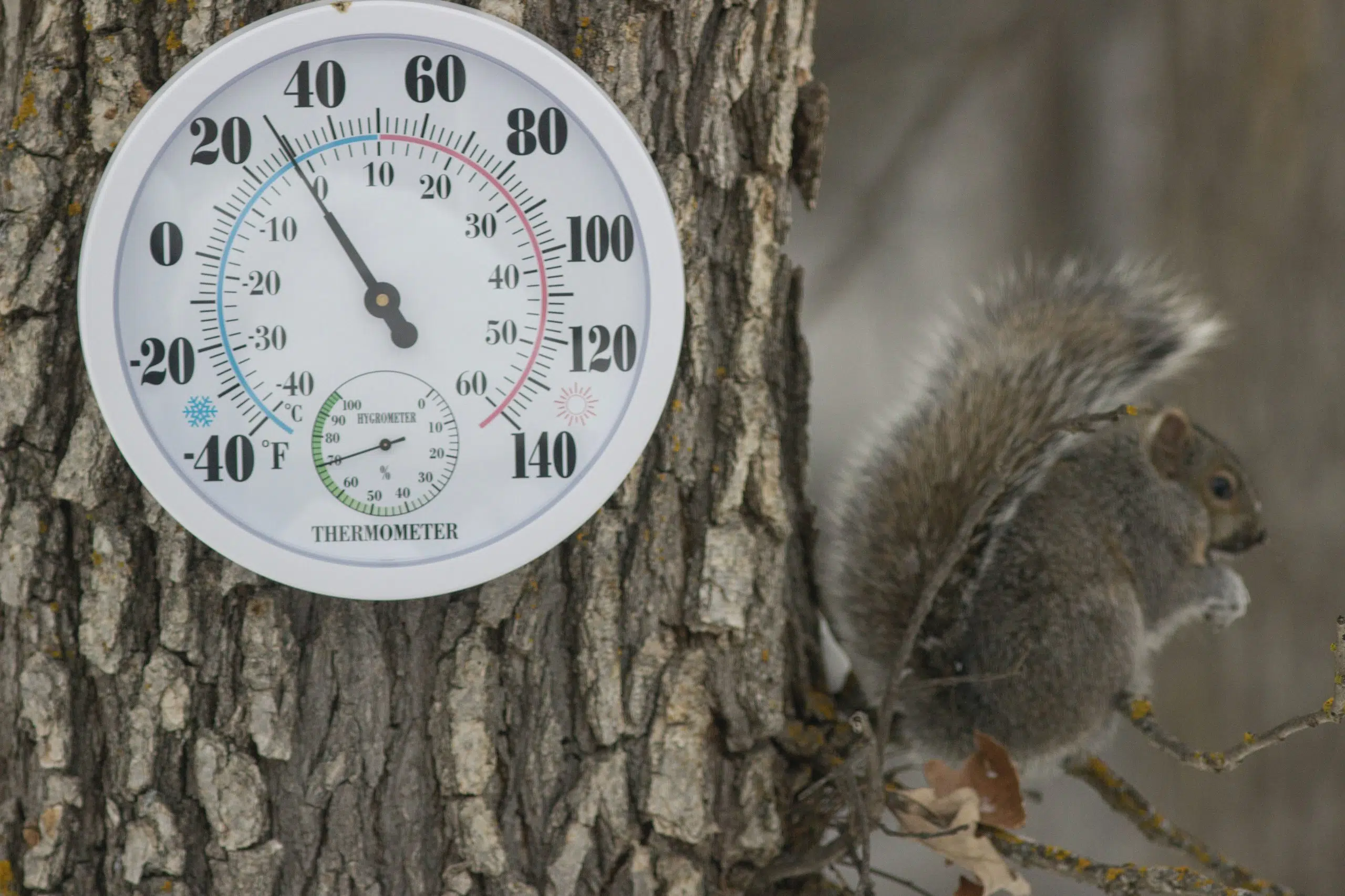
Much of Louisiana could experience freezing rain, sleet, icy roads, and possibly even snow, starting Monday night and into Tuesday. National Weather Service in Lake Charles Meteorologist Nick Slaughter says artic air will move in on Sunday and it will get very cold a couple of days later.
“Overall, we could be below freezing for almost 36 hours straight Tuesday and Wednesday,” said Slaughter.
Slaughter says freezing temperatures are expected to impact the region from Sunday night through at least Wednesday night, bringing extended subfreezing temperatures and dangerous wind chills.
“Wind chills will be down in the teens, and some places in central Louisiana could see wind chill factors in the single digits.”
Slaughter says uncertainty remains regarding winter precipitation. It is still too early to determine the exact snow or ice accumulations and potential impacts.
“It’s going to be around a 50/50 chance. So, we could be seeing a light dusting of snow or some sleet or freezing rain, but chances are still up in the air,” Slaughter said.
Winter precipitation depends on surface low in the Gulf of Mexico. If it stays south of the state, Louisiana will remain dry, but the further north it moves, the great the chance we could see snow or a wintery mix.


Comments