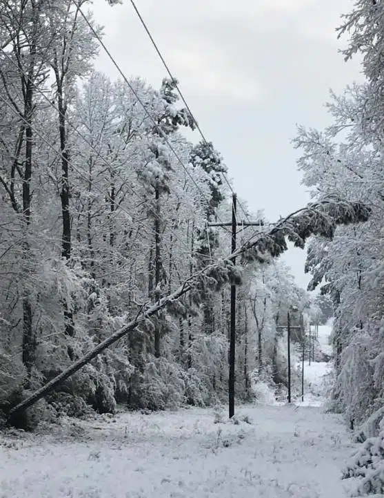
The wintery mix the Bayou State received at the beginning of the week will serve as a genesis for a second system that will eventually move up the east coast. But according to State Climatologist Barry Keim before it exits the state it will leave its mark with lots of rain in the southern half of the state.
“As we get into the northern parishes, I really hate to say this, but we can expect another round of freezing rain, sleet and snow. It’s going to be really messy, that wintery mix. Now this storm will mercifully wind down on Thursday morning,” said Keim.
Keim said for north Louisiana its somewhat reminiscent of hurricane season last year with back-to-back systems hitting the state, but instead of a month apart its days apart.
“It’s just a horrific situation and actually the ice is going to compound over this time period cause we really haven’t had any significant warming to really melt all this stuff back. It’s not a good situation, we definitely need to brace ourselves for it,” said Keim.
Once this second-round wintery precipitation leaves the state on Thursday and eventually becomes a Nor’easter, Keim said don’t put away your winter coat away yet.
“As this storm system moves on it’s going to reinforce those northly winds across this region, it’s just horrible, all the way through the weekend,’ said Keim.


Comments