


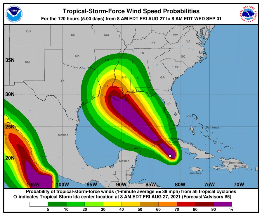
Hurricane Ida is projected to make landfall as a category three hurricane but forecasters warn it has the potential to hit category four due to boiling hot Gulf sea surface temperatures.
State Climatologist Barry Keim said all the ingredients are there for rapid strengthening once it enters the Gulf late Friday night.
“Once in the Gulf of Mexico the storm will track over an elongated eddy of the loop current which will keep the storm over incredibly warm water practically all the way to the shores of Louisiana,” said Keim. “We talking sea surface temperatures in the upper 80s through very deep layers of the ocean so there is a lot of energy that could feed into this storm.”
The quickly developing system is projected to dump a lot of rain on Southeast and South-Central Louisiana. NWS New Orleans forecaster Jared Klein said this system will drop eight to 12 inches of rain across the region with potential for up to 20 inches of rain in isolated areas.
“It’ll be especially heavy in the daytime hours Sunday and even into Monday,” said Klein who warned residents to be wary of flash floods. “We’re actually looking at a potential for heavy rain Friday so whatever falls Friday has potential to saturate the ground and make areas a little more vulnerable.”
Peak storm surge projections call for seven to 11 feet from Lafourche Parish to St. Bernard Parish with the possibility of four to six feet in Lake Ponchartrain.


Comments