


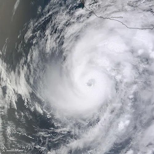
We’re keeping a close eye on what is currently Tropical Depression Two. The center of the system is in the northeastern Gulf and forecasters expect it to become Tropical Storm Bertha this afternoon or tonight. LSU Health Climatologist Barry Keim says they are not expecting major strengthening as it moves towards southeast Louisiana.
“The storm is being exposed to some wind shear, and it’s ingesting some dry air off the continent from the southeast U.S.; and that’s going to limit the storm really from becoming a major hurricane,” Keim explained.
According to the National Hurricane Center’s latest forecast, Bertha is expected to make landfall as a tropical storm in Plaquemines Parish sometime Wednesday, but Keim says the far southeast Louisiana coast will start feeling the effects much sooner.
“We should start feeling it here late Tuesday. The wind should start picking up into Wednesday morning, and then the storm should be passing just south of New Orleans on Wednesday evening,” Keim said.
Of course, a lot can change between now and then, and the cone of uncertainty has the path anywhere from north of Baton Rouge to well south of the Louisiana coast; and Keim says while the storm is currently not expected to grow beyond tropical storm strength, that could change if the track shifts south off the coast.
“If it stays offshore and stays over that warm water, I would say that a weak hurricane is not off the table. I’d say that’s not likely, but it’s something we need to watch very carefully,” Keim noted.
Speaking of “watch,” a tropical storm watch is now in effect for Plaquemines and St. Bernard parishes, as well as portions of Orleans and St. Tammany parishes.





Comments