

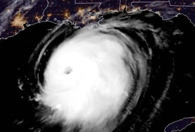
The National Hurricane Center is monitoring three tropical systems today. State Climatologist Barry Keim says that’s not a surprise.
“September 10th is the statistical midpoint of the season marking the date of the warmest sea surface temperatures in the North Atlantic Basin for this reason there is more tropical storm activity surrounding this date than at any other,” said Keim.
A tropical depression could form Sunday or Monday in the southwestern Gulf, but at this time not a threat to Louisiana.
So far this year, Keim says we’ve had 13 named storms, which for this time of year, puts us far ahead of an average season of storms.
He says while we still have half the hurricane season left, there’s an upside to this situation. There will be a “less and less” chance of hurricane formation from now until November, though Keim says we won’t “be out of the woods” until towards the end of October.
He also told us that as we hit the statistical midway point of the 2021 hurricane season, there is one thing to note. We won’t see a repeat of last year’s use of Greek names for the storms. Instead, after the list of 21 names is exhausted, there will be a list of new names to go through that don’t use “the Greek alphabet.”
And Keim says NOAA predicts a 70 to 80 percent chance of a LA Nina forming towards the end of the season which could result in a repeat similar to last year of a lot of storms, some of them powerful.



Comments